When Is the Best Time
The five islands are accessible by plane year-round though by boat only Anacapa Island and Santa Cruz Island. However, accessibility is always weather depending. The other three islands San Miguel, Santa Barbara, and Santa Rosa are accessible by boat from April to October/November. Boat trips are not offered daily. Booking in advance is essential. Check the conditions and closures of the islands first. Channel Islands Conditions
Most visitors come during the summer from June to August. Due to the limited transportation opportunities, it doesn’t get too crowded.
Weather
The islands have a cool Mediterranean climate, but the weather varies considerably from island to island. The winter is cool and wet - summer is warm and often dry. Most precipitation from November to April with its peak in January and February and drier from May to October. Summer is the driest period. The climate is influenced by the sea. Fog may appear, especially on the outer islands during the night but can occur at any time. The islands are often windy, and strong winds occur on the outer islands. Strong eastern winds from October to January. The sea temperature is around 50°F (10°C) in winter and around 65°F (18°C) at the end of summer.
Weather Depending Activities
Each season has its own character, different weather, and outdoor activities. The best time to visit one of the islands depends on what you are looking for as well as the activities you’re planning:
- Snorkelling
It's snorkelers paradise and best at the end of summer until fall with a sea temperature of about 65°F (18°C). A wetsuit is recommended to stay longer in the water. - Watersports
Besides snorkelling, summer until fall is also the best time for sailing diving, kayaking, and swimming. Many consider early fall as the best time of year for diving or snorkelling as ocean temperatures go up to 70° (F) and visibility may reach 100 feet. - Whale Watching
January until March has the highest chance for gray whale sightings.
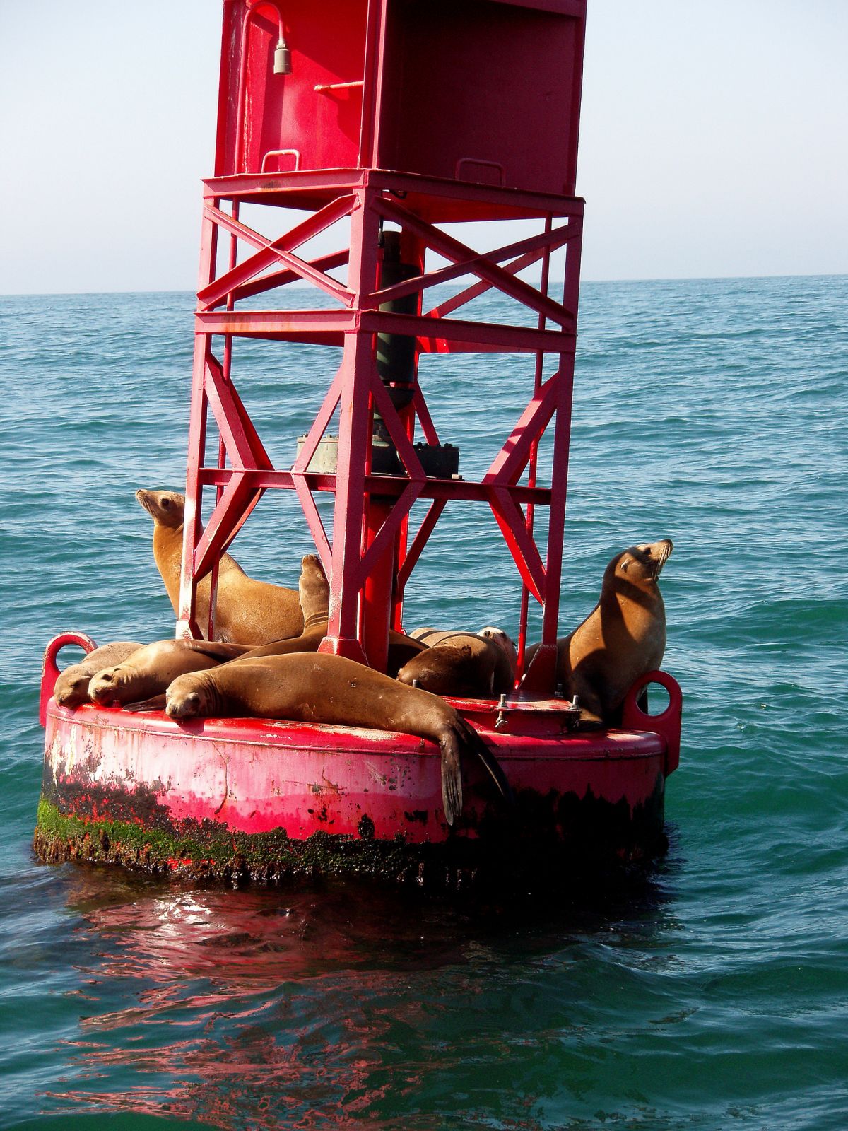
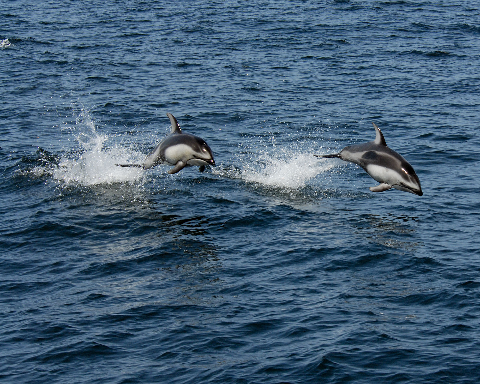
April to September is the season for blue and humpback whales due to the high plankton concentration. Year-round spottings: orcas, minke whales and different species of dolphins. Besides, it is common to spot seals, sea lions and water birds. - Birding
Birding is outstanding in the Channel Islands. Some endemic birds occur here like the Island Scrub-Jay on Santa Cruz Island. The best time is the nesting season in spring. Shorebirds are best seen on Santa Cruz, Santa Rosa, and San Miguel. - Surfing
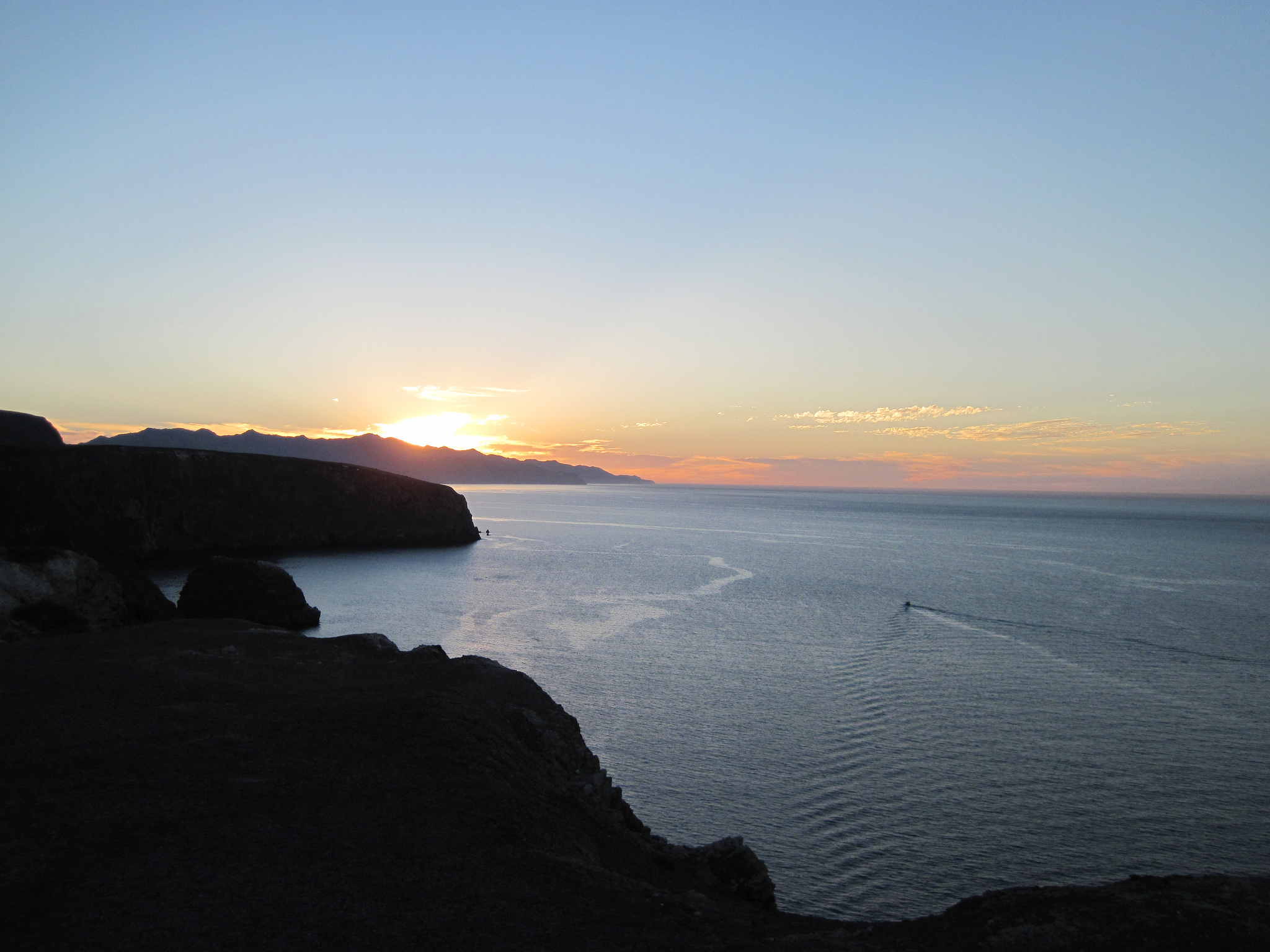
In the winter and spring, the north shore is best, and in the summer and fall, it’s the south shore. Best access to all surf spots by private boat due to the remote locations. Besides being one of the best times for surfing, in the winter also some of the best sunsets occur. - Wildflowers
Depending on the amount of rain from the end of winter until spring some continue to bloom during summer. Gum plant, buckwheat, poppies, and verbena can still be viewed in the summer.
Best Months to Visit
Location and Tips

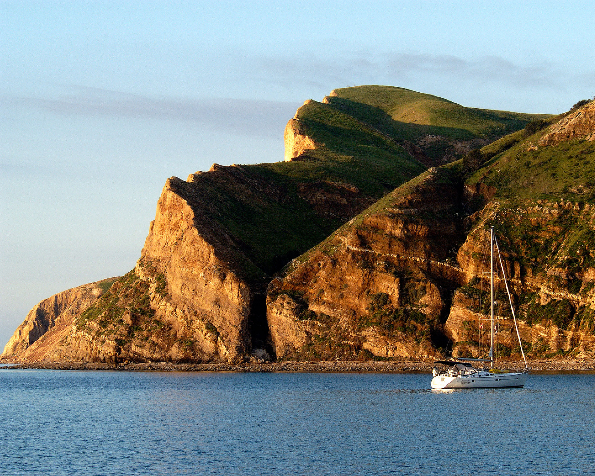
These are exceptional islands, isolated over thousands of years and part of the Channel Islands National Marine Sanctuary. The main visitor centre is in Ventura and Santa Barbara. If you want to visit these islands, you need to be self-sufficient; bring all food, water (except Santa Rosa), cooking utensils, camping equipment, snorkel gear. There isn’t any shop available for good reason. Keep your food during the stay in containers. Guided hiking trails are available, but it's also possible to do self-guided hikes. No off-trail hiking is allowed. There is no entrance fee for these islands. Come here and enjoy the beauty of mother nature.
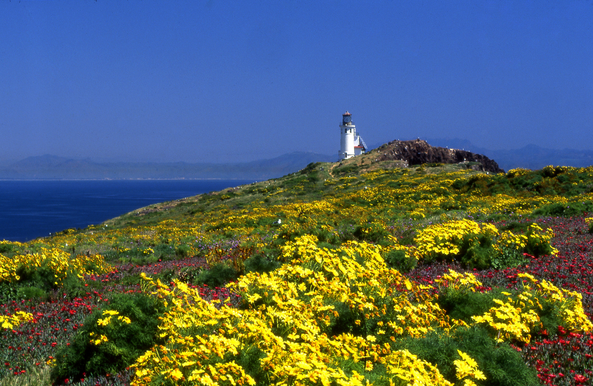
It only takes one hour to get to the island. Boat trips are offered year-round. A small visitor center is located on the island. Only two miles of hiking trails exist. Seals and sea lions can be spotted from Pinniped Point.
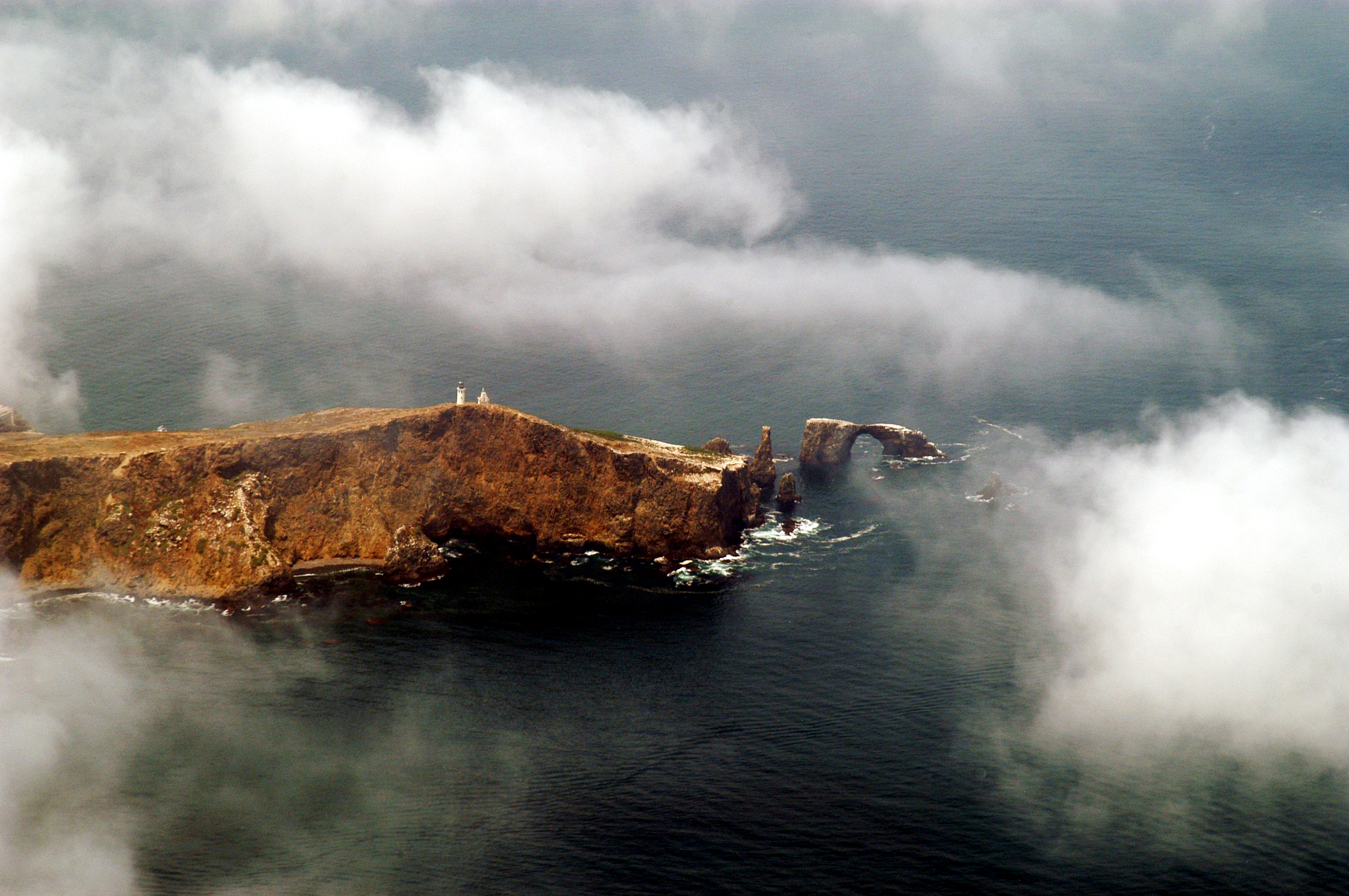
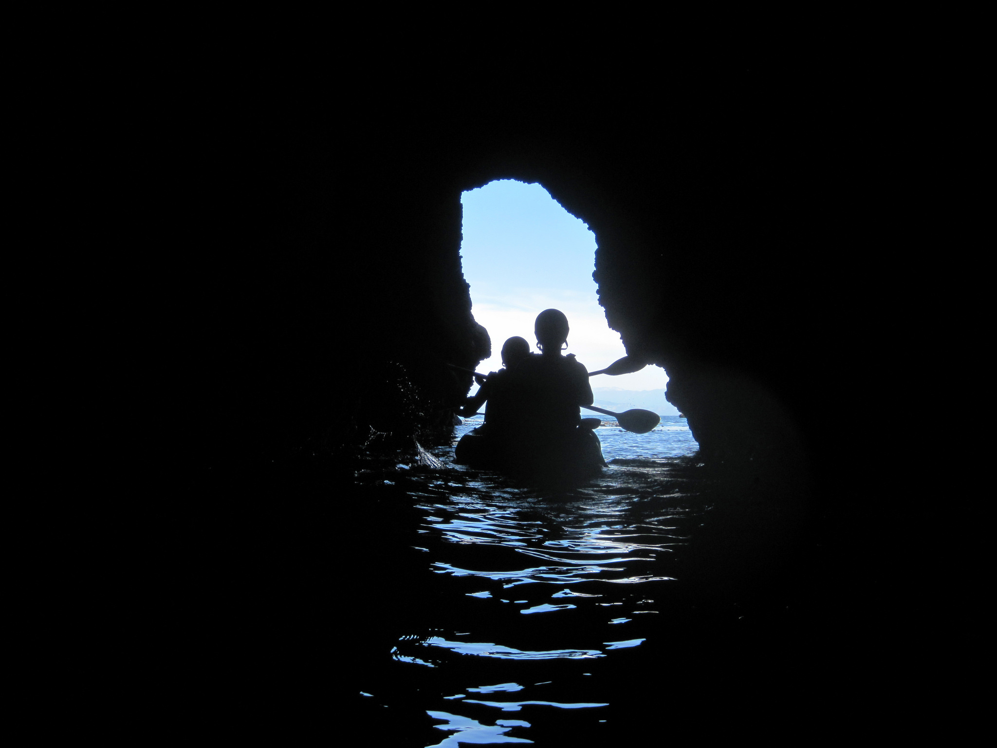
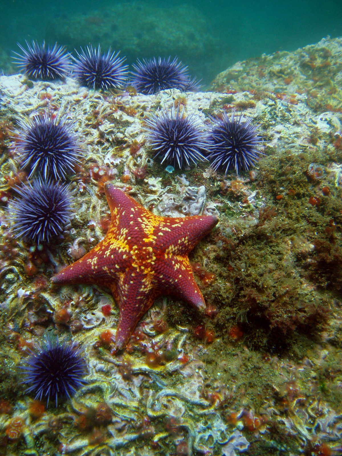
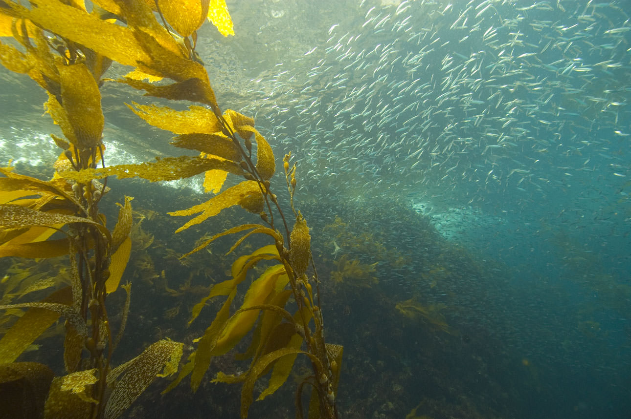
This cliff island is famous for water activities. Access to the sea only at Landing Cove. Explore the sea caves (Arch Rock and Cathedral Cove) by kayak or snorkel/dive through the amazing kelp forests in the Marine Reserve.
Camping:
Only seven camping sites for $15 per night. Minimum stay of three days due to the boat schedule.
It only takes one hour to get to the island, and boat trips are offered year-round. There are two jetties one is called Scorpion Anchorage and the other Prisoners Harbor. Water is available at Scorpion Anchorage, and nearby is the visitor center located in the historic Scorpion ranch house. There are several hiking trails inside the National Park. Outside the boundary, it’s not allowed to hike onto the Nature Conservancy property.
This island is also popular for water activities because of the easy access at Scorpion Beach. Explore the sea caves, wildlife (island foxes are often seen) and the shoreline by kayak or snorkel/dive through the amazing kelp forests in the Marine Reserve. The other beach options are Prisoners Harbor and Smugglers Cove, but they are not as good.
Camping:
31 camping sites at the Scorpion Ranch Campground for $15 per night. Del Norte the only backcountry campground close to Prisoners Harbor.
Hiking map Santa Cruz Island
Kayaking map Santa Cruz Island
It’s a three hours boat trip. This island is very popular. That's why it's necessary to book far in advance. A small visitor centre is located on the island. You can either do a guided walk or self-guided trails. Trails can be closed due to nesting pelicans from January to August. This island is perfect for birding, snorkelling, diving, and kayaking. However, it’s a cliff island access to the sea only at Landing Cove.
Camping:
Only ten camping sites for $15 per night, minimum stay three days due to the boat schedule.
To get to this island is more challenging, expect strong winds and a rough sea. It takes three hours by boat.
Water is available at Bechers Bay at the campground and the public bathrooms. It’s a great destination for hiking. Hiking map Santa Rosa Island
Camping:
Only 15 camping sites for $15 per night, minimum stay three days due to the boat schedule. Backcountry camping is allowed but limited to several beaches from August 15th to December 31st
It is challenging to get to this island, expect strong winds and a rough sea. It takes four hours by boat. Famous for thousands of seals and sea lions. Five different pinniped species, in number over 30000 can be found. It’s one of the most impressive and largest wildlife concentrations. Worth to do a ranger-guided 16-mile hiking trail to Point Bennett and back. Short self-guided trails are existing. No off-trail hiking, it was a former bombing area!
Spring and summer are outstanding for birding. Birding at Cuyler Harbor for seabirds and Nidever Canyon for land birds. The endemic island fox can be found. Different archaeological sites of the Chumash, the oldest one 11,600 years old, can be visited as well.
Camping:
Only nine camping sites for $15 per night, a minimum stay of three days due to the boat schedule.
A permit is required, but if you travel with Island Packers, Channel Islands Aviation, or Truth Aquatics, they’ll provide the forms to you after reservation.
Some of the awesome pictures are by NOAA